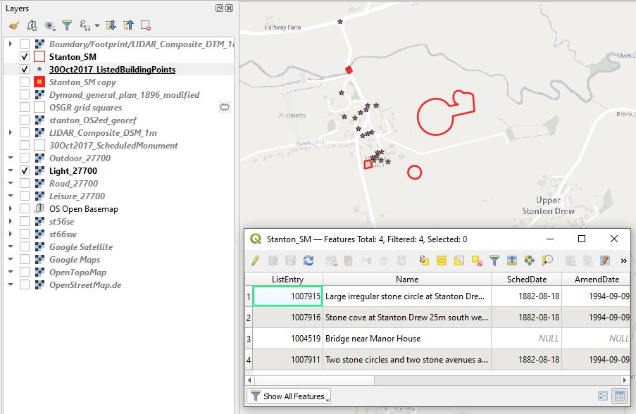
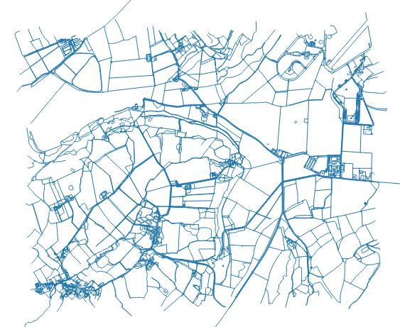
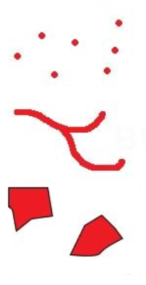
The second type of geospatial data is vector data. This is a co-ordinate-based data structure comprised of nodes and lines that can be scaled infinitely. Vectors are comprised of three formats, points, lines and polygons. In some geospatial file types (such as ESRI Shapefiles) different geometries cannot be contained in the same file so for any given area you would need one file for polygons, one for points and one for lines.
In addition to geospatial data, vectors also have attribute tables, allowing feature data to be recorded and analysed. You can also use the geometry of the feature to calculate new values such as length or area.
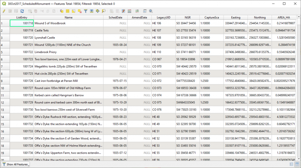
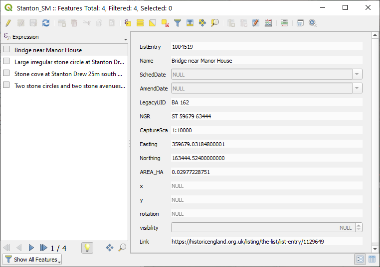
As vector data are easily editable and contain feature attributes they form the core of the primary and secondary geospatial data available to historic environment professionals. If you request geospatial data from Historic England or a Historic Environment Record you will receive vector data with attributes.
In Workshops 2 and 3 of this course we cover how to import, style and edit vector datasets.