“Everything happens somewhere…”
Almost all archaeological data have a spatial element and the ability to plot and analyse data is vital to professionals and researchers in the historic environment sector.
Illustrations
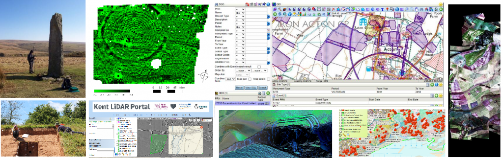
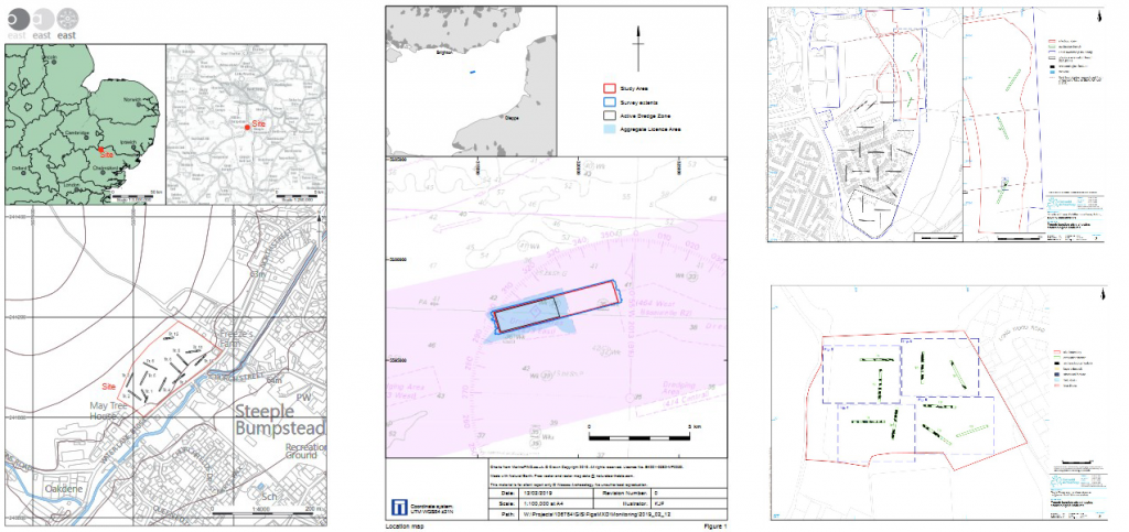
The most common use of GIS in archaeology is to create maps to illustrate archaeological reports.
Many examples can be found in professional reports archived to the Archaeological Data Service. When you have completed the four practical workshops in this course you will be equipped to create a professional-quality map similar to the examples shown.
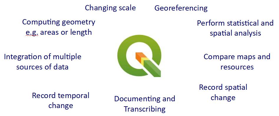
As well as becoming confident at creating beautiful, meaningful maps, you will also take the first steps in understanding the power of GIS as a toolkit to move from simple data display through to complex analysis.
We’ll begin this journey in the next section by looking at what sorts of data are available to historic environment professionals.