Ordnance Survey are the UK’s national mapping agency with a reputation for high quality mapping and, until the advent of Open Data in 2010, equally high price points for their spatial data. While the highest detailed products such as MasterMap are still proprietary there are a lot of raster and vector data downloadable for free at the OS Open Data website. The website is well worth exploring and revisiting regularly as new data and products are made available.
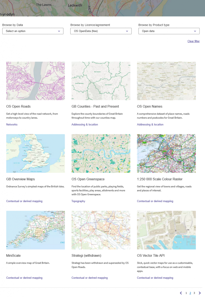
Currently over 20 products are available under Open Government Licence (OGL), including raster and vector basemaps, height, boundary, theme, placename, postcode and zoomstack products. Base maps are available at a variety of scales.
In Workshop 1 you will use OS Open Map Local raster tiles as a background for your map. In Workshop 2 you will add OS Open Map Local vector data and learn how to alter the styling to match the familiar OS stylesheet.
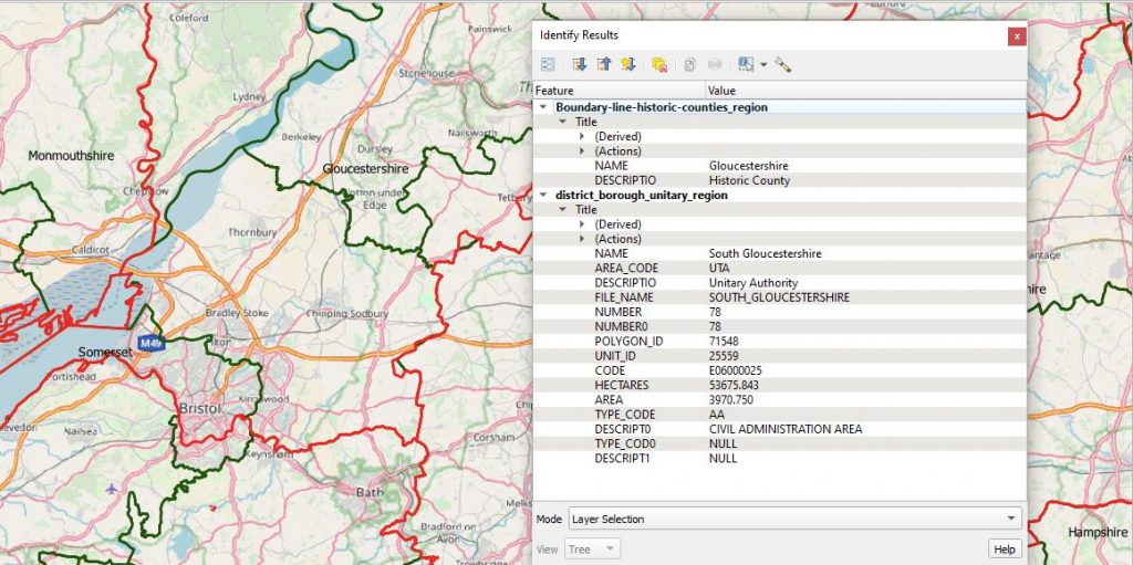
As well as base maps in a variety of scales and formats there are useful open datasets are the historic and modern administrative boundaries, which are downloadable in a variety of vector formats.