Many of the resources we would like to include in our research or work are not “GIS ready” i.e. they don’t have embedded data that allows you to overlay them on your basemaps in the correct location. To incorporate historic plans, illustrations or aerial photography into our GIS project, we need to georeference them by identifying a series of ground control points (GCPs) that link locations on the map with locations in our base map.
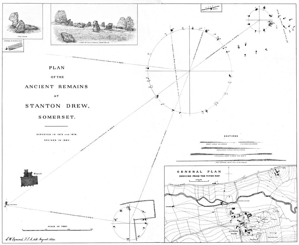
In Workshop 1 you will georeference a scanned image of an historic plan from 1896 to add to your project. The aim is to locate the input image against the base map with as little distortion as possible.
The key to accurate georeferencing is selecting good ground control points that map your input image to the base mapping. You should think carefully about:
- what base mapping is most appropriate to both the scale and date of your input image. Try to use base mapping in the most accurate CRS for preference, e.g. modern and historic OS mapping for preference over less well referenced data such as Google Satellite imagery.
- how locatable your GCP reference points are across the input image and the base map
- how accurately the GCP locations are mapped or captured in your input image (e.g. what scale is the plan or aerial photograph you are georeferencing?)
- how realistic it is to georeference your input image? What is a reasonable level of error for your final product? Scaled plans and vertical aerial photographs generally georeference very well (if you can find enough GCPs!). Oblique photographs and unscaled plans will be less successfully referenced without warping and distortion.
Location and distribution of GCP points
Not all GCP locations are equally useful and we need to consider our selection carefully.
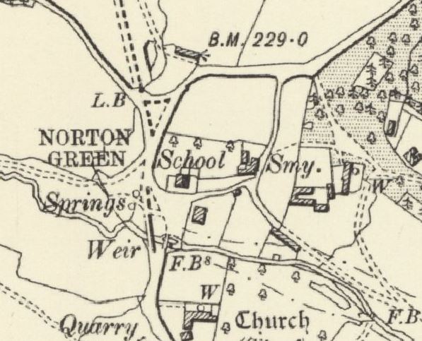
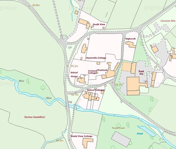
Building corners (churches are useful as they rarely have additions or extensions unlike residential buildings).
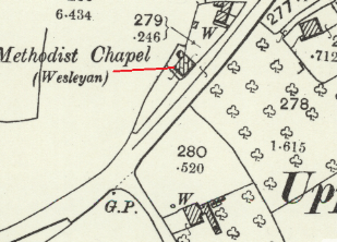
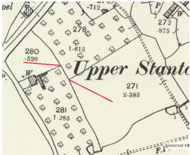
Field corners / fence intersections (beware of realignments).
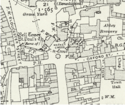
Large immovable structures e.g. trig points, market cross.
Features to avoid when georeferencing:
- natural watercourses, rivers, streams etc (constantly migrating)
- road junctions (often realigned, widened and modernised)
- footpaths (especially those identified from aerial imagery rather than maps)
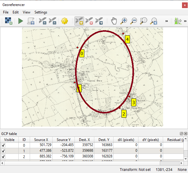
It is also important to remember that only the area enclosed by your distribution of GCP points is properly georeferenced. You will need a broad distribution of points around the periphery of the input image to ensure good quality data.
In the example to the right, only the area of the historic map that is circled in red can be considered to be georeferenced as this is the extent of the 5 GCP points.