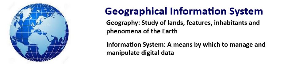
What is GIS?
GIS stands for Geographical Information System and is defined as a framework for collating, managing and analysing geospatial data.
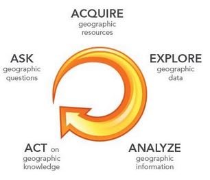
The GIS Process
GIS is a powerful visualisation tool that allows geospatial data management and visualisation but also facilitates analysis leading to better decision making. Good practice for the application of GIS in a professional context is to start with an “Ask” e.g. what is the question you’d like to answer? Bad practice is to collect all the data you can and throw it into a GIS and wait to see what happens!
There are so many questions that historic environment professionals and researchers can ask of geospatial datasets, you probably have any number of ideas from your own research or interests. In the next section we’ll take a look at how GIS is used to understand the historic environment.
A Geographical Information System (GIS) is a collection of computer hardware and software and of geographic data, designed to obtain, store, manage, manipulate, analyze and display a wide range of spatial information”
Renfrew & Bahn, 2016, p.94
GIS is a toolkit for manipulating spatial data, we can use GIS to model reality using our data but as we will see, the quality and efficacy of these models is dependent on many factors… even something as fundamental as location is a complex matter.

Understanding the data, theory and method underpinning the application of GIS are critical to producing good quality work.